


Welcome to the Stevenson Way
-
A unique wilderness walk across the heart of Scotland
-
Over 230 miles (370 km) in length
-
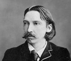
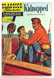
Based on the book Kidnapped, by Robert Louis Stevenson
-
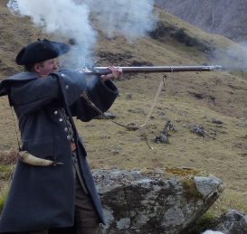
Centred around real historical events
-
A great way to explore Scotland
-
Part of the European Cultural Routes : In the Footsteps of Robert Louis Stevenson
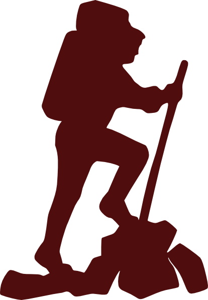
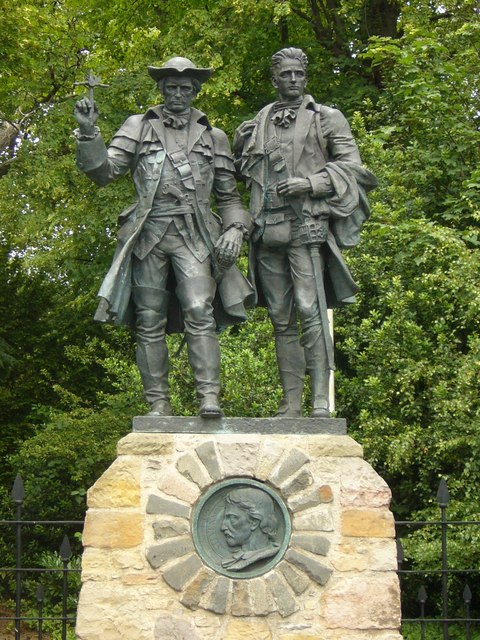
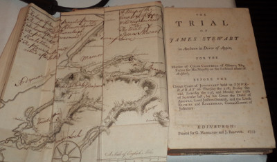
Kidnapped describes the tale of a young lad David Balfour, who was kidnapped by his uncle and put on a boat bound for the Carolinas. On the way there he is shipwrecked on the island of Mull, on the far west coast of Scotland, and is involved in many adventures as he travels over 230 miles back to Edinburgh. This web site is based on that journey from Mull to Edinburgh and seeks to provide information to assist you in doing the same. Although Kidnapped is fiction, it is based on the real-life murder of The Red Fox (Colin Campbell) in 1752 and David's travelling companion is also another real character: Allan Breck Stewart (whom RLS calls Alan Breck). See the Background for further details.
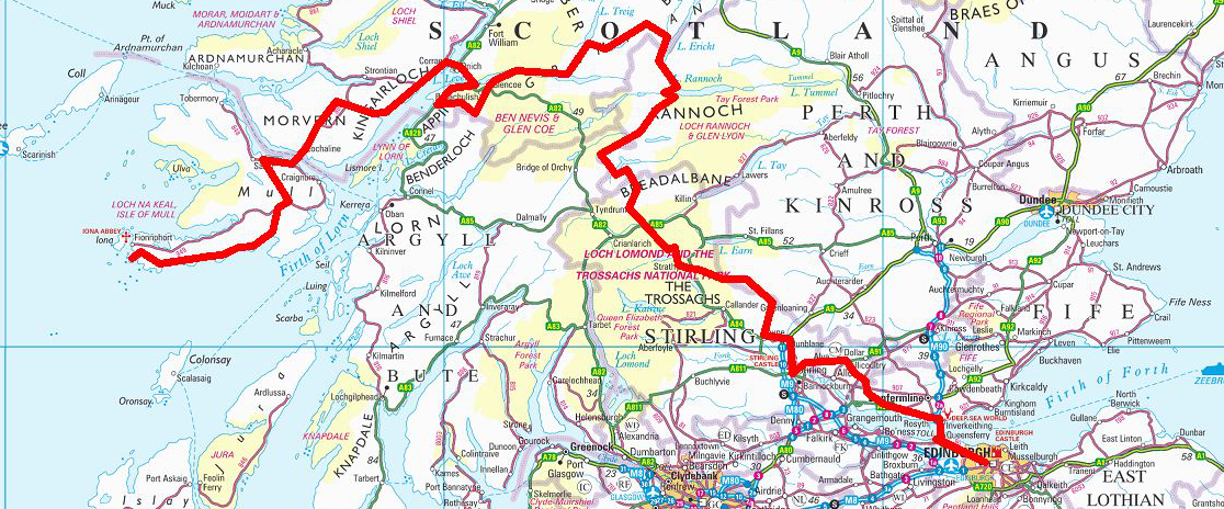
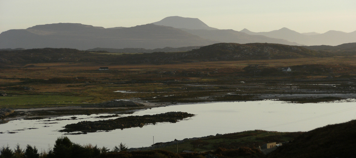
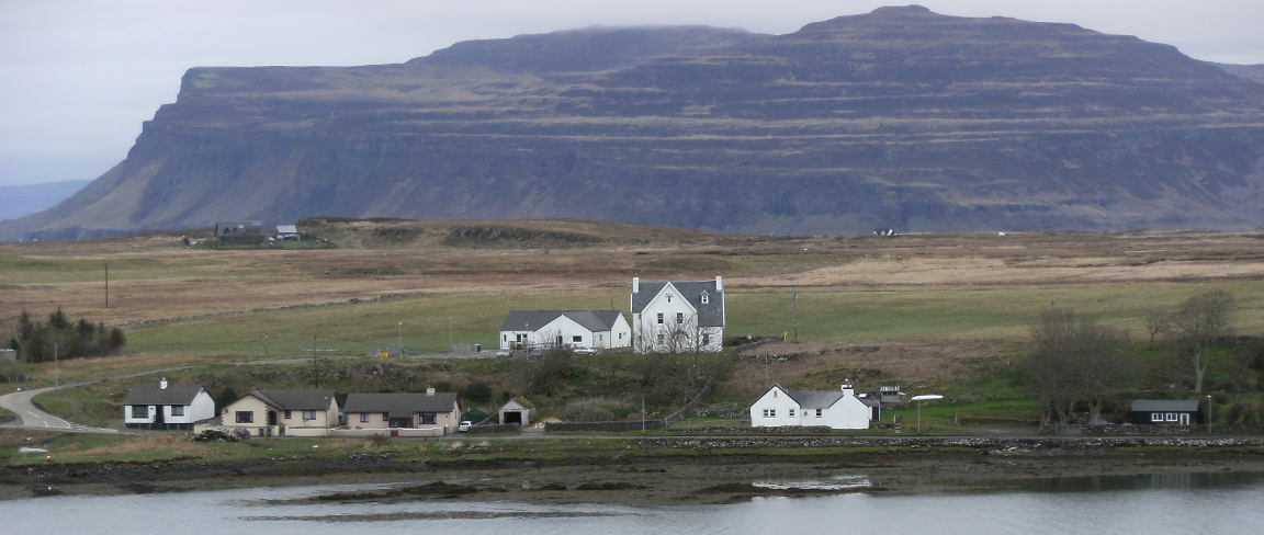
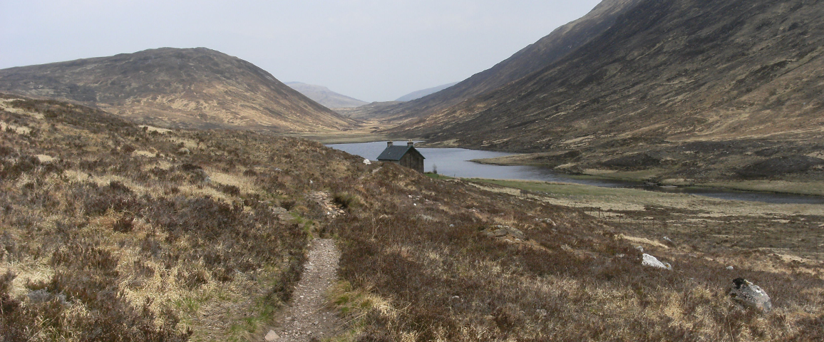
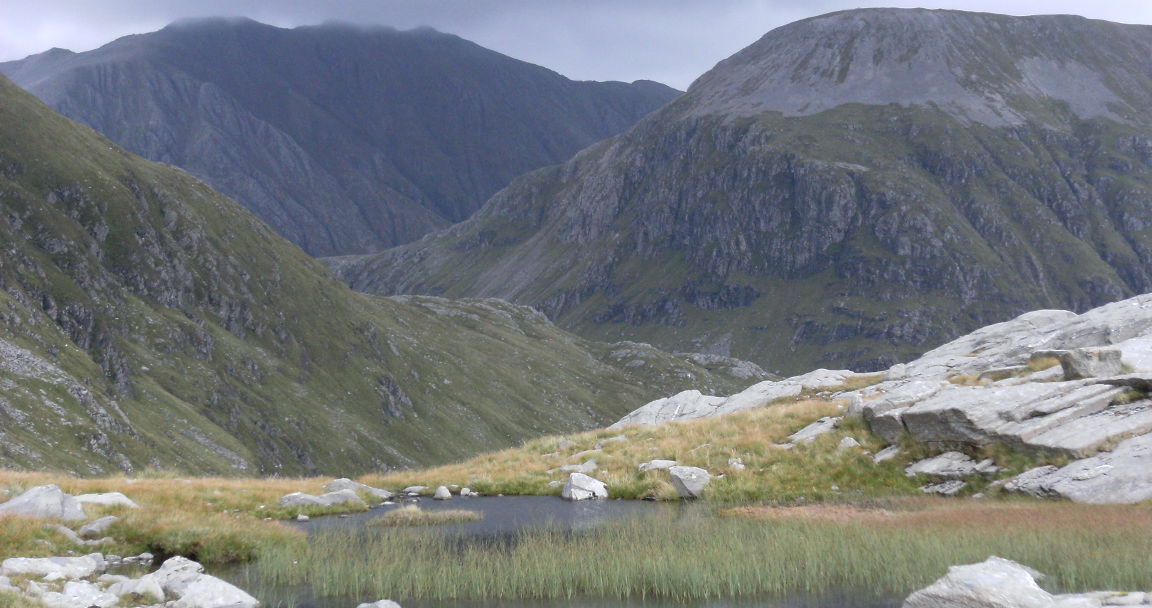
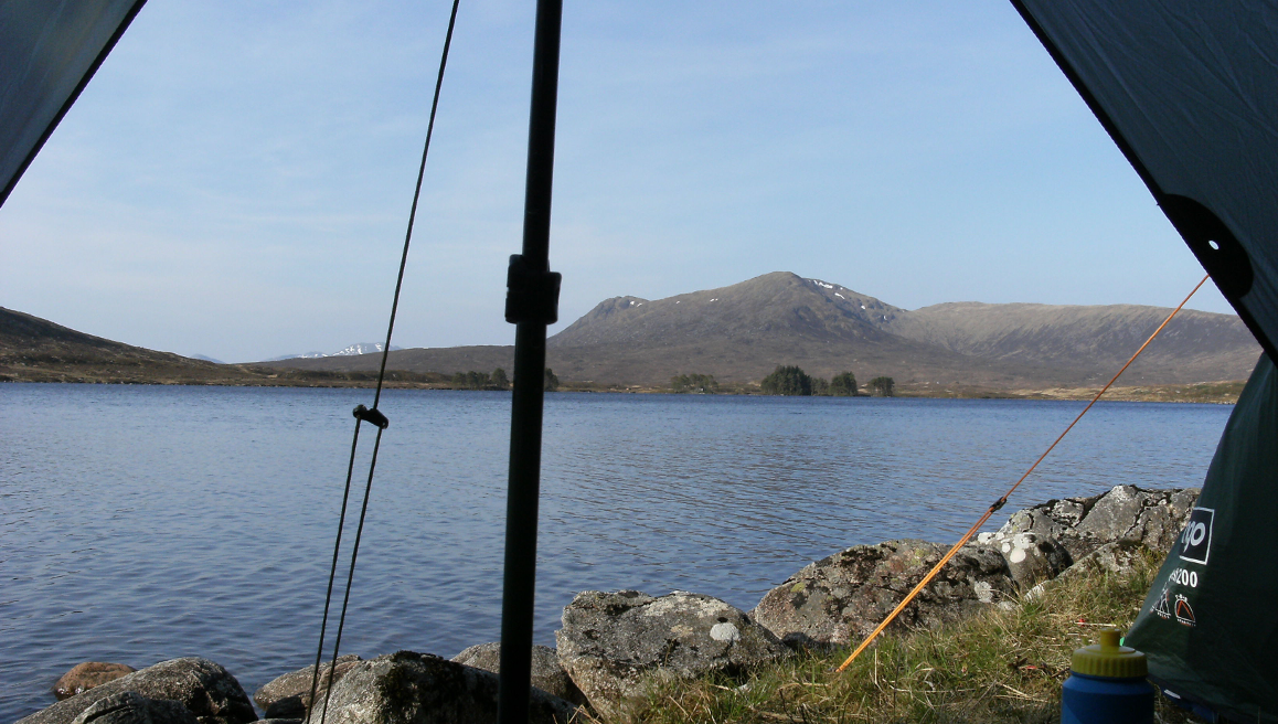
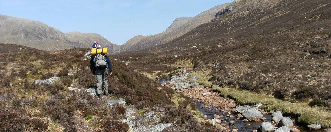
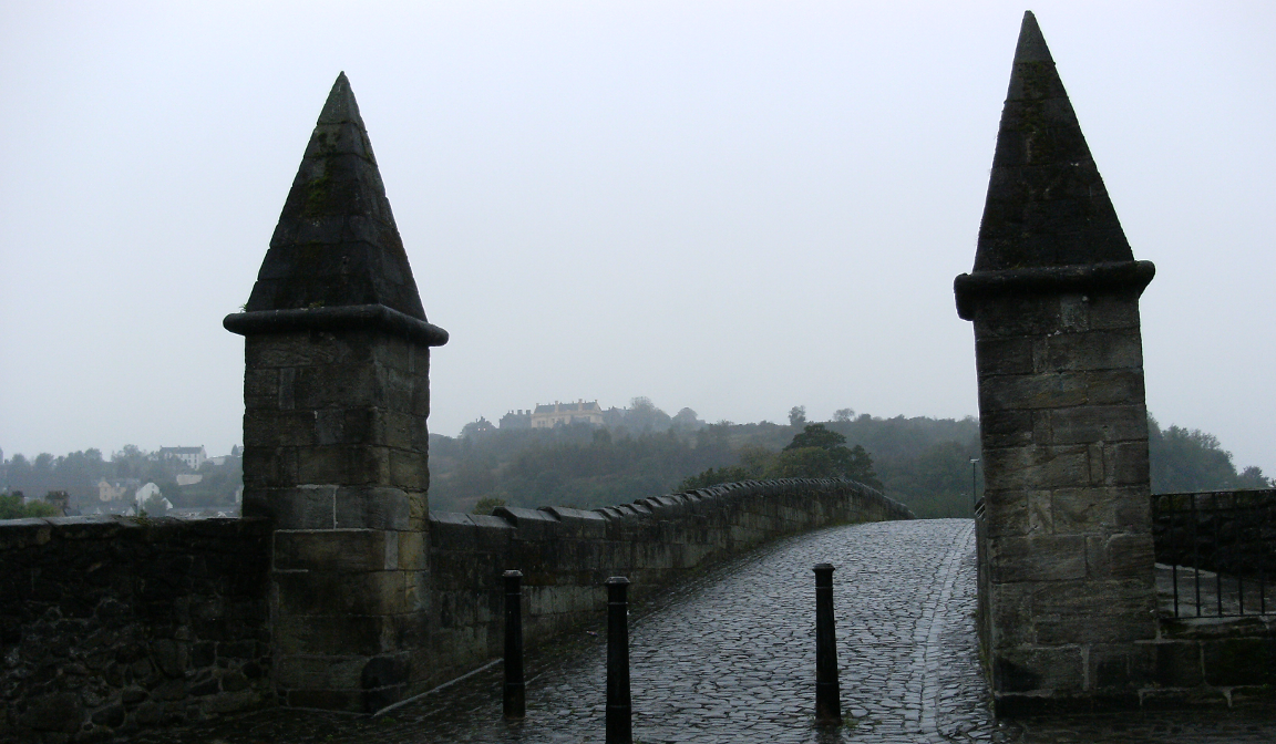
The Stevenson Way starts right out on the West of Scotland on the small island of Erraid, which is just off the Isle of Mull. The route goes through Morvern and then across Loch Linnhe to Ballachulish near the site of the murder of Colin Campbell. Then it is on to rugged Glencoe with its majestic mountains. From Glencoe the Way leads into the great vast wilderness of Rannoch Moor and to the slopes of remote Ben Alder by Loch Ericht. The Way turns south now, heading to Loch Rannoch and on through to the mountains above Bridge of Orchy, near today's West Highland Way, and on to near Crianlarich. It is up and over the mountains now to Loch Voil and Balquhidder, where Rob Roy McGregor lies buried. From here the Way leads on past Callander and Dunblane to Stirling and then along the north of the River Forth to Limekilns, and finally across the Forth to Edinburgh and the statue of David Balfour and Allan Breck at Corstorphine. Overview maps of the route are available here, and each part of the route has a map of the appropriate section of The Way tab.
The route itself covers a wide variety of terrain and while Robert Louis Stevenson gives some excellent detail e.g. the island of Erraid, much of the book is deliberately v ague. This gives great scope for a variety of routes! The route in the book is approximately 230 miles (370 km) so this would be the minimum distance. The most difficult section of the route is across Mull and then Rannoch Moor. Conversely the easiest part is from Callander onwards. A map and further details, including the Ordnance Survey maps that are required can be found on each section under The Way tab.
If you require further information or want to walk part of the route then please do get in touch.
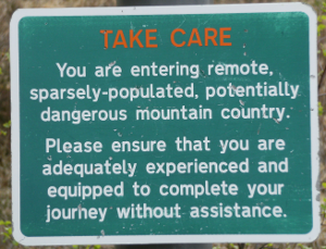
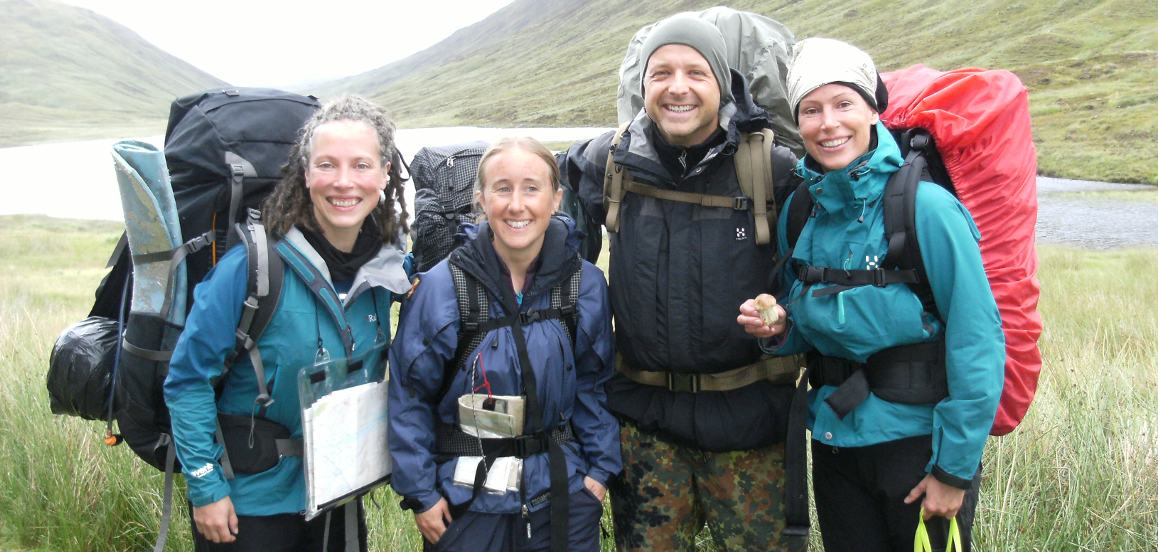
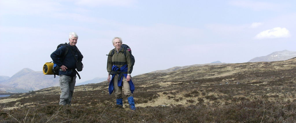
You need to be:
- Self-reliant
- An experienced hill-walker
- Able to use a map & compass
- Properly equipped for the conditions
- Know the Scottish Outdoor Access Code

Watch out for:
- Some very rough walking on Mull
- The remoteness of Rannoch Moor
- Swollen streams after heavy rain
- There are no way-markers
- Poor mobile phone coverage

Why not get in touch?
- For further information
- With any photos
- Updates on the route
- Reports on walks
- Any other comments